
Wednesday 29 April - Ladybank Woods circuit, 8.5 miles
Cathy Creedican led our group out from the car park at the corner of Heatherhall Wood on a lovely spring morning. We followed a path along the southern edge of the wood, with the Rossie Drain below us on our left.
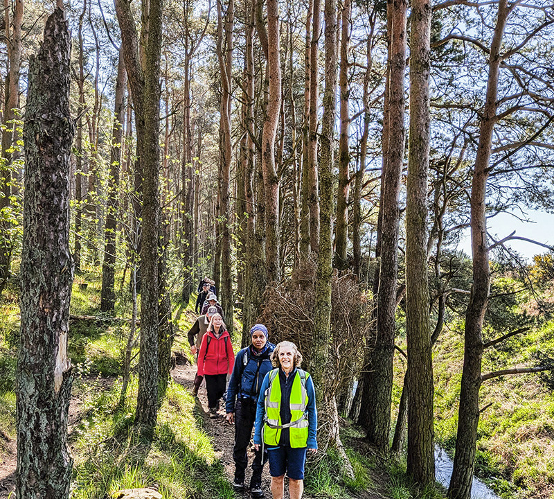

We followed the boundary of the woodland until we struck off eastwards towards Edenstown & Ladybank. Passing through the northern edge of Ladybank we crossed the railway line and stopped for a coffee break beside the golf course. We skirted round the perimeter of the golf course and headed towards Annsmuir & then Sunnybraes, before crossing the railway line again and heading in to Heggie's Muir wood. We followed the edge of the wood, beside the railway line, before stopping for our lunch break. We continued around the edge of Gravelpit Wood before a little road walking took us past Ladybank station and along the southern edge of the town. We entered Edens Muir wood and later Heatherhall Wood to return to the start.
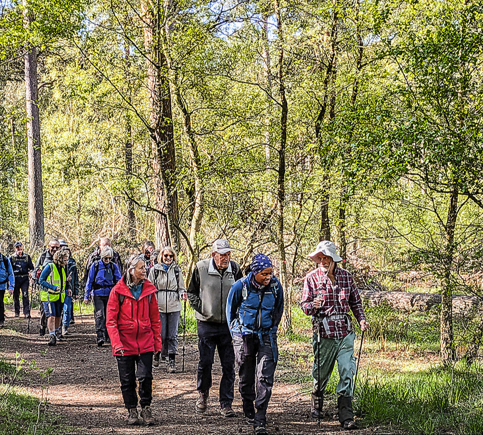

We had enjoyed some delightful woodland scenery with fresh spring foliage and dappled sunlight. After the walk some walkers repaired to Jamesfield coffee shop for refreshments.
Photos by Tom Reid & Pete Trant
Saturday 25 April - Arbroath to Auchmithie, 8.5 miles
On the day of the walk fog was forecast for the Angus Coast, however when 13 Walkers met at Victoria Park Arbroath there was no fog, it was only slightly overcast and before long the sun appeared and we had blue skies and sun all day. The walk, led by Joyce Gavine, started from the east end of Victoria Park at Whiting Ness on a tarmac path but first we looked at the Information Board about The Arbroath Cliff Trail, that maps out all the sights along the cliff walk listing all the caves by name.

Moving on we walked along the cliff top path, towards Seaton Cliffs Nature Reserve, from here the path rises steadily and gives views of the Needle’s E’e, (Needle’s Eye) a narrow hole worn into the sandstone by the sea. Further on, the path curves inland at Dickmount‘s Den, a deep channel cutting into the coastline. As we continuned on the path we passed the De'il’s Head (Devil’s Head) a stack which has a devils face looking out to sea. Here we left the path and walked to a grassy view point to have a closer look.
We returned to the cliff top path and continued along to the musical rail. This feature suddenly appeared in September 2019 and nobody knows who put it there. The musical notes apparently play Lord of the Dance.
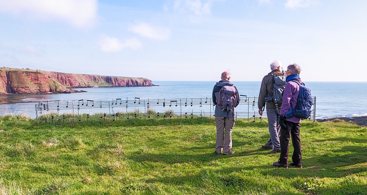
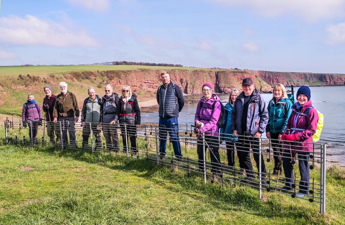
We then descended down steps to reach the wide Carlingheugh Bay where we stopped for coffee We then climbed back up on steep steps to the cliff top path which we followed to Auchmithie, the small village dating back to the 10th century. We walked through Auchmithie and down to the old harbour where we had lunch by the beach.
After lunch we left Auchmithie and started back towards Arbroath on the Seaton Trail. We dropped down into the Seaton Den and crossed over the small burn.
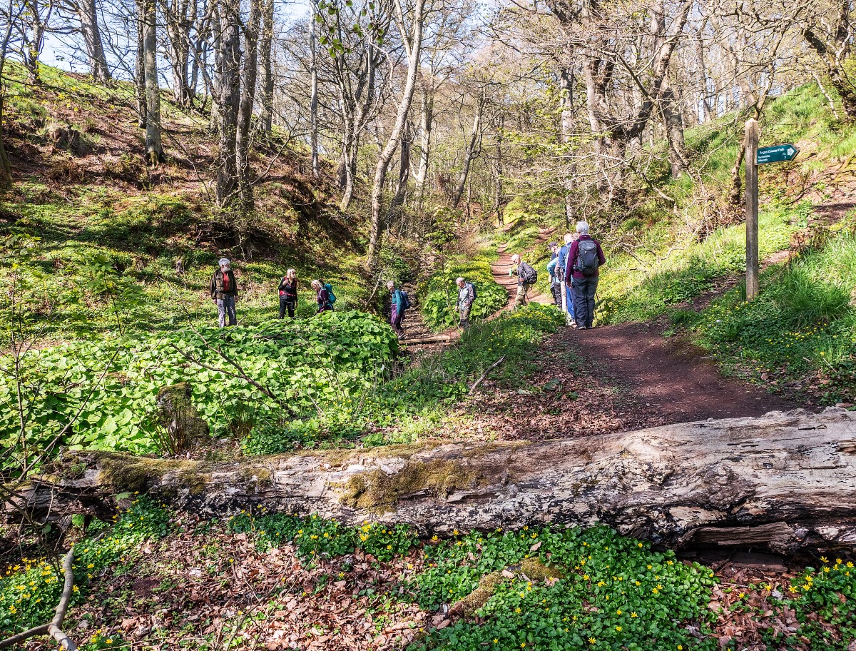
Climbing back out of the den, we continued our walk along paths beside the fruit field tunnels which led us back to the cliff top path and we returned to Victoria Park.
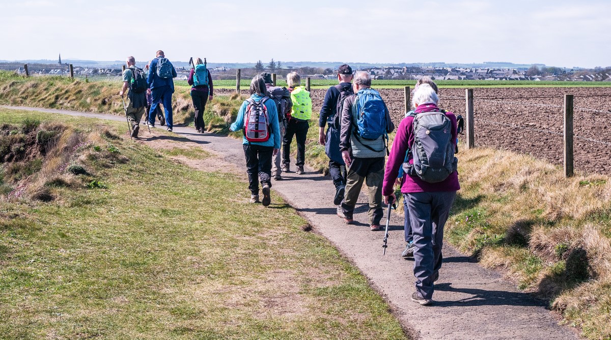
Seven of us enjoyed coffee at Dobbies Garden Centre Monifieth on the way home.
Report by Joyce Gavine, photos by Pete Trant
Wednesday 22 April - Tayport & Tentsmuir, 7.5 miles
It was a bright but slightly chilly spring morning as 18 walkers met at Links Road car park in Tayport. Pete Trant led the group on to the Scotscraig golf course and crossed it to pause at the ruins of the Garpit corn mill. We entered the Morton Lochs Nature Reserve and joined the track of the disused railway line, where we stopped for a coffee break on the benches and bank.
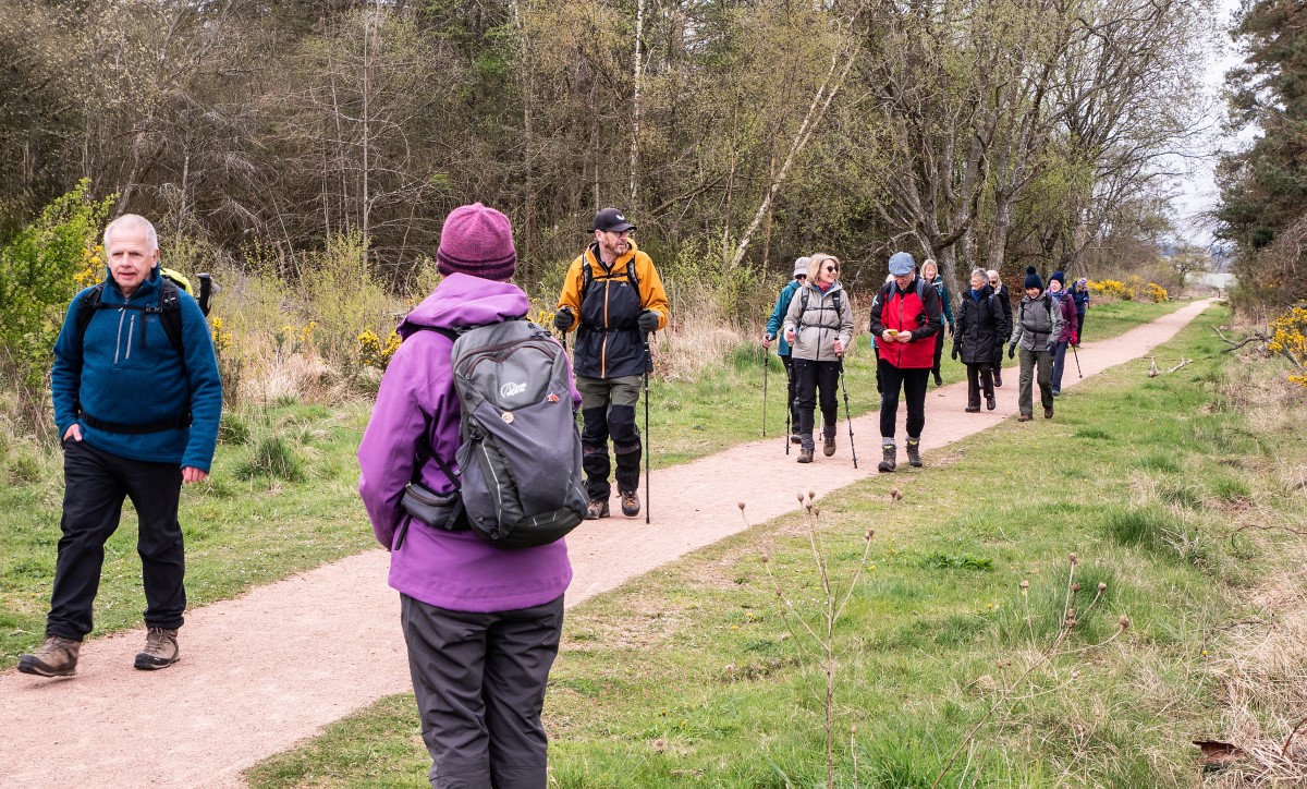
Resuming the walk, we crossed the felled area at the southern end of Morton Links to pass near Fetterdale and then entered Tentsmuir Forest. We headed towards the coast on a firm, even path, eventually emerging on to the Fife Coastal Path.
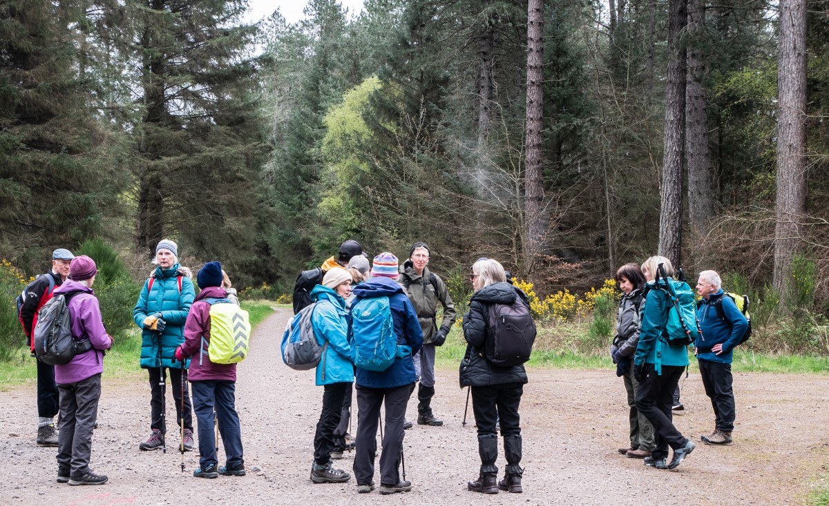
We followed this towards Tentsmuir Point for a short distance before detouring in to the Tentsmuir National Nature Reserve to have our lunch looking across the Tay towards Broughty Ferry and Monifieth in pleasant sunshine.


After lunch we returned to Tayport, mostly along the beach, to cross Lundin Bridge and return to the cars.
Photos by Pete Trant & Marjory Watson
Saturday 11 April - Torlum Hill from Crieff, 9.2 miles
13 walkers, led by Elsie Carnegie, left the visitor centre car park initially over Knock Mary. This was a surprisingly steep section of the walk and everyone was pleased to have a coffee break before a short section of road walking.

We soon entered Torlum Wood and started to climb up towards the top of Torlum Hill. Again, we had some steep sections but were well rewarded with excellent views from the top. It was very windy on the top so we came down to a sheltered spot for lunch. The forecast rain came on just after lunch but, thankfully, was short lived.
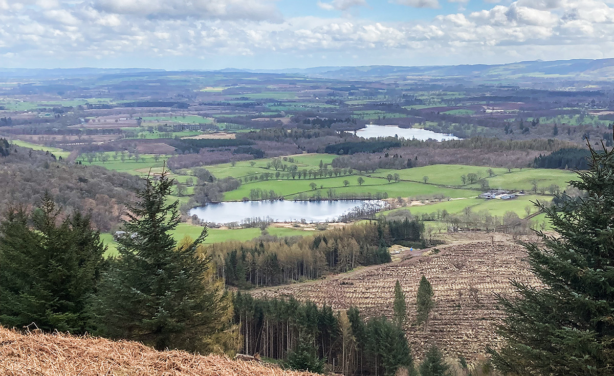
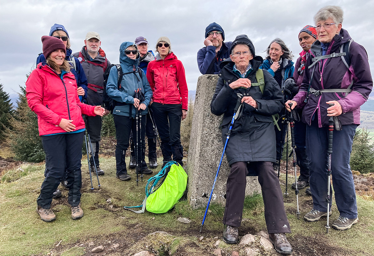
We then completed the day by walking around the edge of the Drummond Estate and back to the visitor centre.
Report by Elsie, photos by Marjory Watson
Wednesday 8 April - Strathmiglo, Drumdreel Wood & Chancefield, 8 miles
Cathy Creedican's walk from Strathmiglo attracted 19 Ramblers, 7 of whom were visitors from other groups. From Strathmiglo we moved east towards Bellfield then south to Drumdreel Wood to reach the base of Arraty Craigs. We then descended to Chancefield before returning to the start. The day was dry and the sun did break through so, with little or no wind, it was a pleasant day for walking.
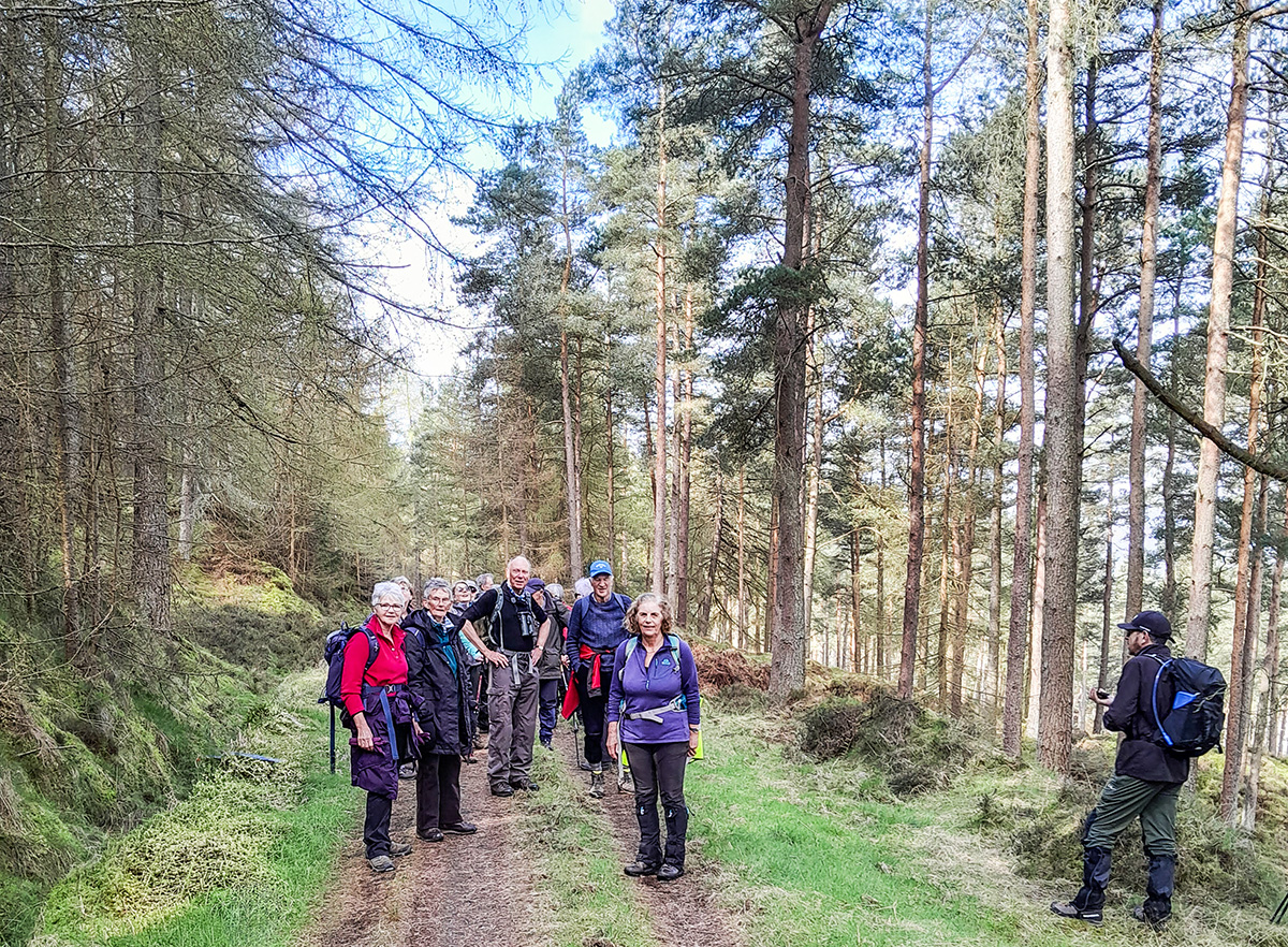
Photo by Ian Stokes
Saturday 4 April - Around Spittalfield and Caputh, 8 miles
16 walkers met at the bowling club car park in Spittalfield on a fine but cold morning that threatened worsening weather later in the day with the impending arrival of Storm Dave. John Andrews led us off, skirting the edge of the village and heading northwards towards Millhole and Culthill. After a short stretch of road walking we turned off into woods near Craigend and stopped for a coffee break among some recently felled timber.

Continuing westwards, we climbed through woodland on Fordie Hill before turning south into open farmland and descending towards Whirley.
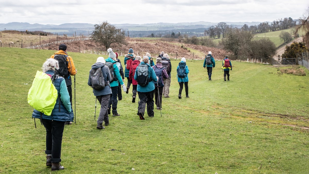
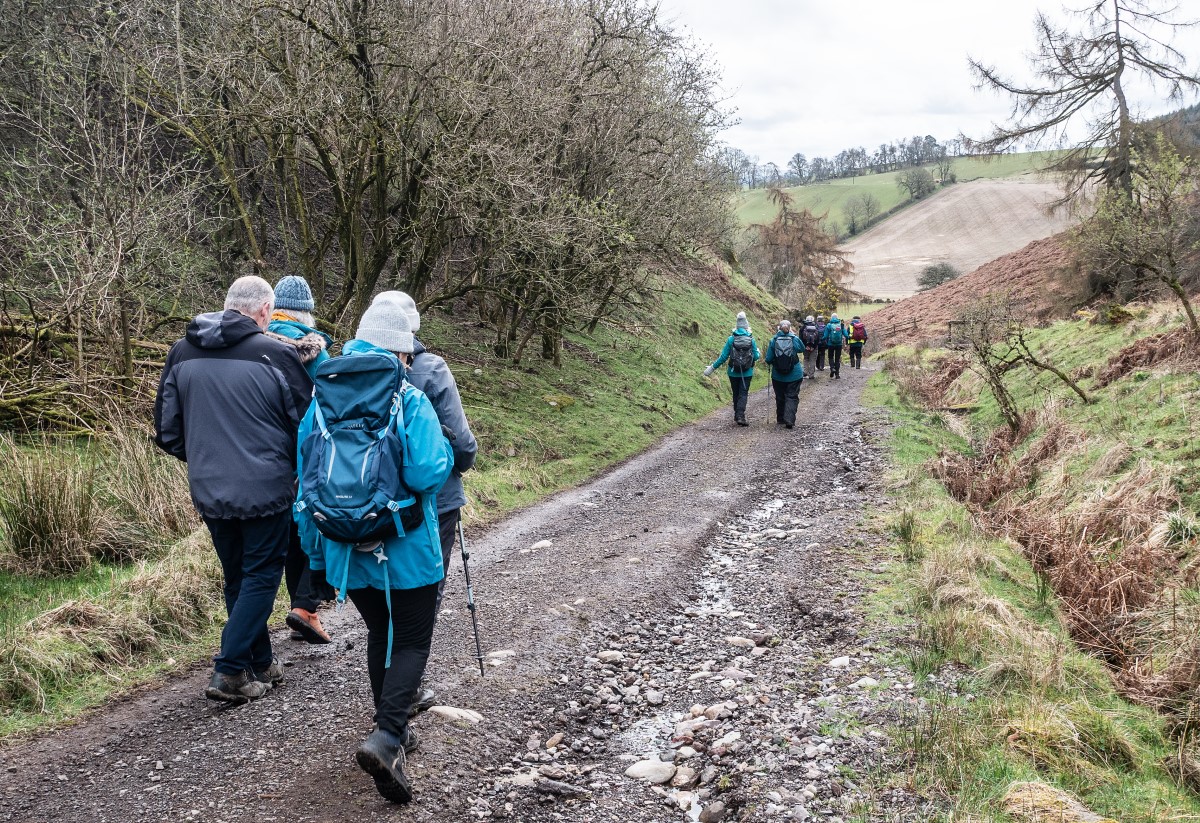
We then headed through Stralochy Farm, where we had brief encounter with Jim Smith, the farmer and comedian, and two of his most recently born lambs before heading south towards Caputh Hill. We had our lunch stop in the woods on Caputh Hill before emerging into the village of Caputh.

As the weather became more threatening we carried on through the village to head towards Sparrowmuir and Braecock Mill. We were hit by a sudden, but thankfully brief, shower of hail as we made our way through Easter Caputh to return to Spittalfield.
Wednesday 1 April - Newtyle and Loch Long circular, 8 miles
Sarah Martin led 18 walkers from Newtyle car park, through the village, passing Bannatyne House on to the disused railway track. We then ascended Keillor Hill to the Mackenzie Meridian Monument. This was the highest point of the walk and there was a prolonged steep ascent to the top.

The path then narrowed and we skirted around Loch Long and onto Easter Keith, then Thriepley Estate.
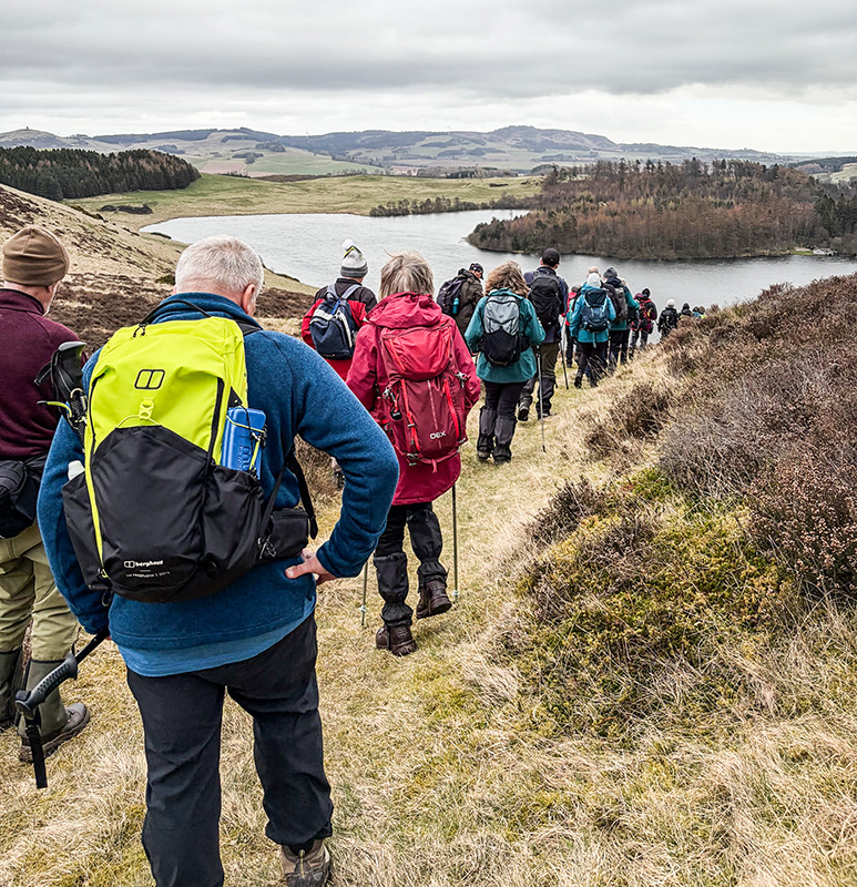
We headed through Burnside Plantation before linking in with the railway track again and back to the start.
Photos by Cathy Creedican